Sale!


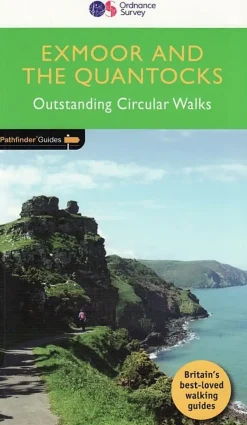
Ordnance Survey Pathfinder Guides Exmoor and the Quantocks – Outstanding Circular Walk New
Original price was: $15.00.$13.05Current price is: $13.05.
Exmoor National Park comprises 265 square miles, of which about two-thirds lie in west Somerset and the remaining third in north Devon.
Exmoor National Park comprises 265 square miles, of which about two-thirds lie in west Somerset and the remaining third in north Devon. Its northern boundary is the Bristol Channel coast, stretching in a dramatic series of cliffs interrupted only by the Vale of Porlock, from North Hill above Minehead in the east to Little Hangman above Combe Martin in the west. This collection of walks ranges from the bare expanses of the Chains, the last real wilderness on Exmoor, to a picturesque riverside route along the Exe, from Badgworthy Water to a coastal walk taking in the spectacular Valley of the Rocks.
- Author: Pathfinder Walks
- No of Pages: 96
- Page Size: 132 x 228 mm
- Publisher: Jarrold Crimson Publishing
- Published Date: April 2016
- Binding: Paperback
- Illustrations: 35 colour illustrations, 29 maps
- Weight: 220g
Be the first to review “Ordnance Survey Pathfinder Guides Exmoor and the Quantocks – Outstanding Circular Walk New”
Related products
Sale!

Original price was: $17.00.$14.28Current price is: $14.28.
Sale!

Original price was: $7.00.$5.95Current price is: $5.95.
Sale!
Original price was: $7.00.$6.02Current price is: $6.02.
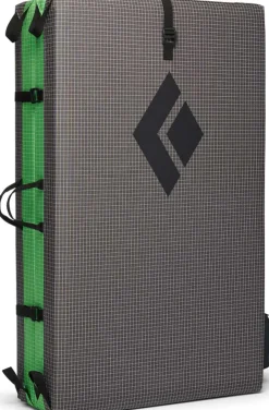
Bouldering
$186.00
Sale!

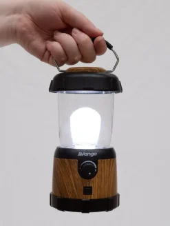
Equipment
Original price was: $7.00.$5.67Current price is: $5.67.
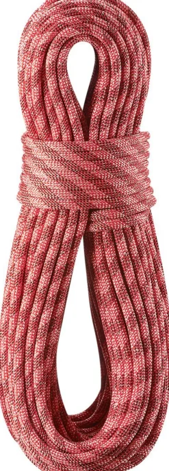
Climbing Equipment
$47.70
Sale!
Original price was: $18.00.$15.48Current price is: $15.48.

Climbing Equipment
$116.00
Sale!


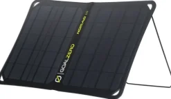
Equipment
Original price was: $55.00.$49.50Current price is: $49.50.
Sale!
Original price was: $116.00.$87.00Current price is: $87.00.
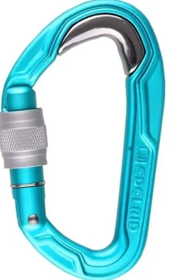
Carabiners & Quickdraws
$15.30
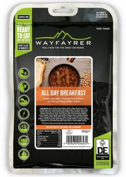
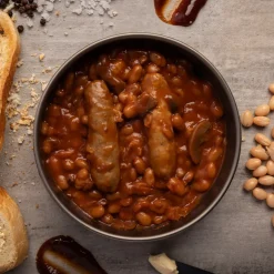
Breakfast
$6.02
Sale!
Climbing Equipment
Original price was: $78.00.$62.40Current price is: $62.40.
Sale!
Equipment
Original price was: $102.00.$75.48Current price is: $75.48.

$79.20
Sale!
Bottles, Flasks & Coolers
Original price was: $35.00.$31.50Current price is: $31.50.
Login

Reviews
There are no reviews yet.