

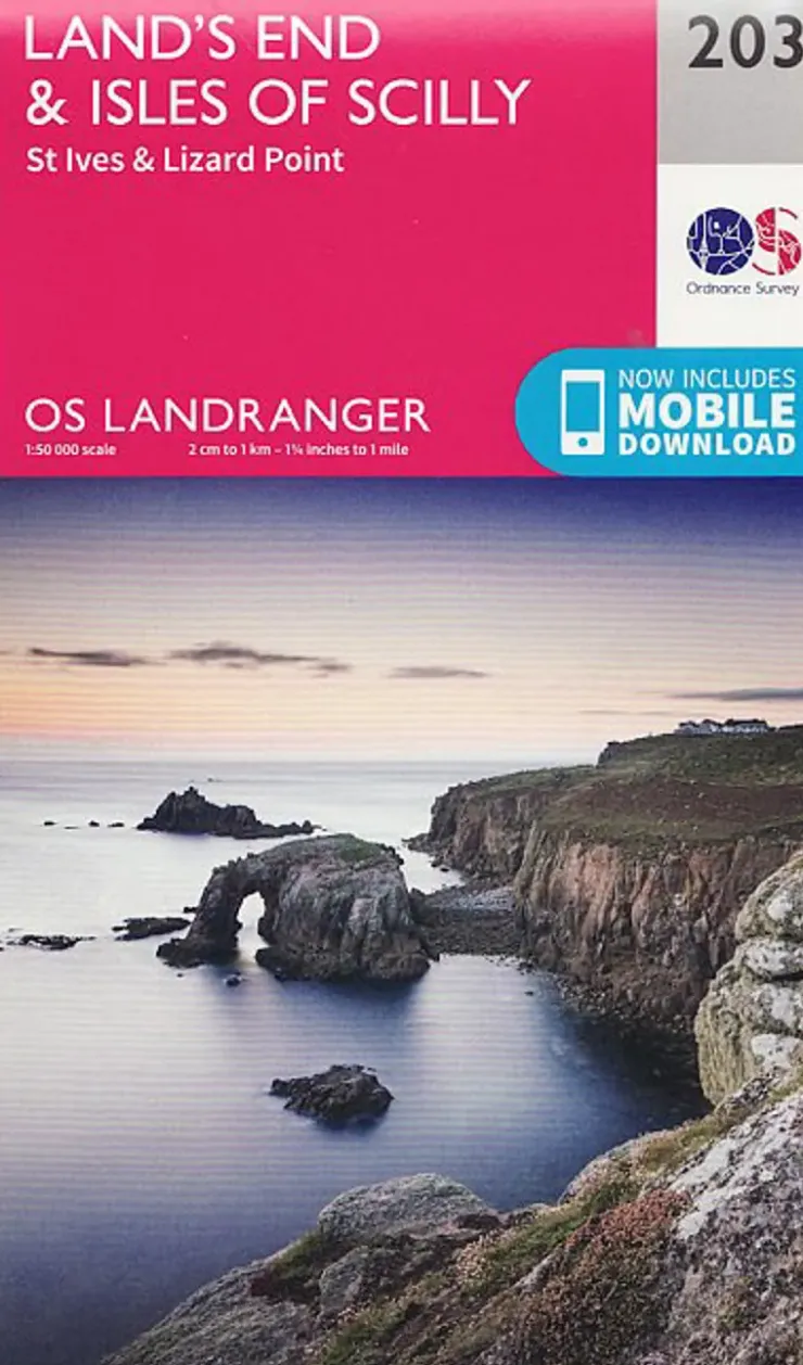

Ordnance Survey OS Landranger Map 203 – Lands End and Isles of Scilly – St Ives and Lizard Point Best
$12.75
Most detailed map for outdoor activities.
The OS Landranger Map series covers Great Britain with 204 detailed maps, perfect for day trips and short breaks. Each map provides all the information you need to get to know your local area and includes places of interest, tourist information, picnic areas and camp sites, plus Rights of Way information for England and Wales. OS Landranger now includes a digital version of the paper map, accessed through the OS smartphone app, OS Maps.
- Page Size: 134 x 227 mm
- Publisher: Ordnance Survey
- Published Date: February 2016
- Edition: 2016 edition
- Binding: Sheet map (folded)
- Weight: 110g
Be the first to review “Ordnance Survey OS Landranger Map 203 – Lands End and Isles of Scilly – St Ives and Lizard Point Best”
Related products
Sale!


Equipment
Original price was: $102.00.$75.48Current price is: $75.48.


Equipment
$5.34
Sale!

Binoculars
Original price was: $65.00.$57.85Current price is: $57.85.
Sale!

Climbing Equipment
Original price was: $78.00.$62.40Current price is: $62.40.
Sale!


Bottles, Flasks & Coolers
Original price was: $16.00.$13.76Current price is: $13.76.
Sale!


Original price was: $17.00.$14.28Current price is: $14.28.


$79.20


Belay & Protection
$24.30


Climbing Accessories
$18.00
Sale!


Original price was: $12.00.$10.20Current price is: $10.20.


Equipment
$88.80

Bottles, Flasks & Coolers
$153.26


Climbing Equipment
$52.70
Sale!


Original price was: $7.00.$6.02Current price is: $6.02.


Climbing Equipment
$116.00
Sale!


Original price was: $116.00.$87.00Current price is: $87.00.
Login

Reviews
There are no reviews yet.